
Browns Canyon
The remoteness of this loop trail begins immediately, despite its proximity to residential development and a major highway. The landscape is at once familiar and unique: pockets of ancient oak and walnut trees, chaparral-specked hills, and grasslands that change color and texture with the seasons.
The bench, flanked by sturdy clusters of native chamise, sits on a ridge facing west toward Simi Valley and the sandstone boulders and outcroppings of Rocky Peak Park. Oat Mountain, the highest peak in the Santa Susana Mountains, lies to the north above the natural streams that run through Devil, Ybarra and Browns Canyons. Pause, breathe, admire the rugged beauty. [October 2025]
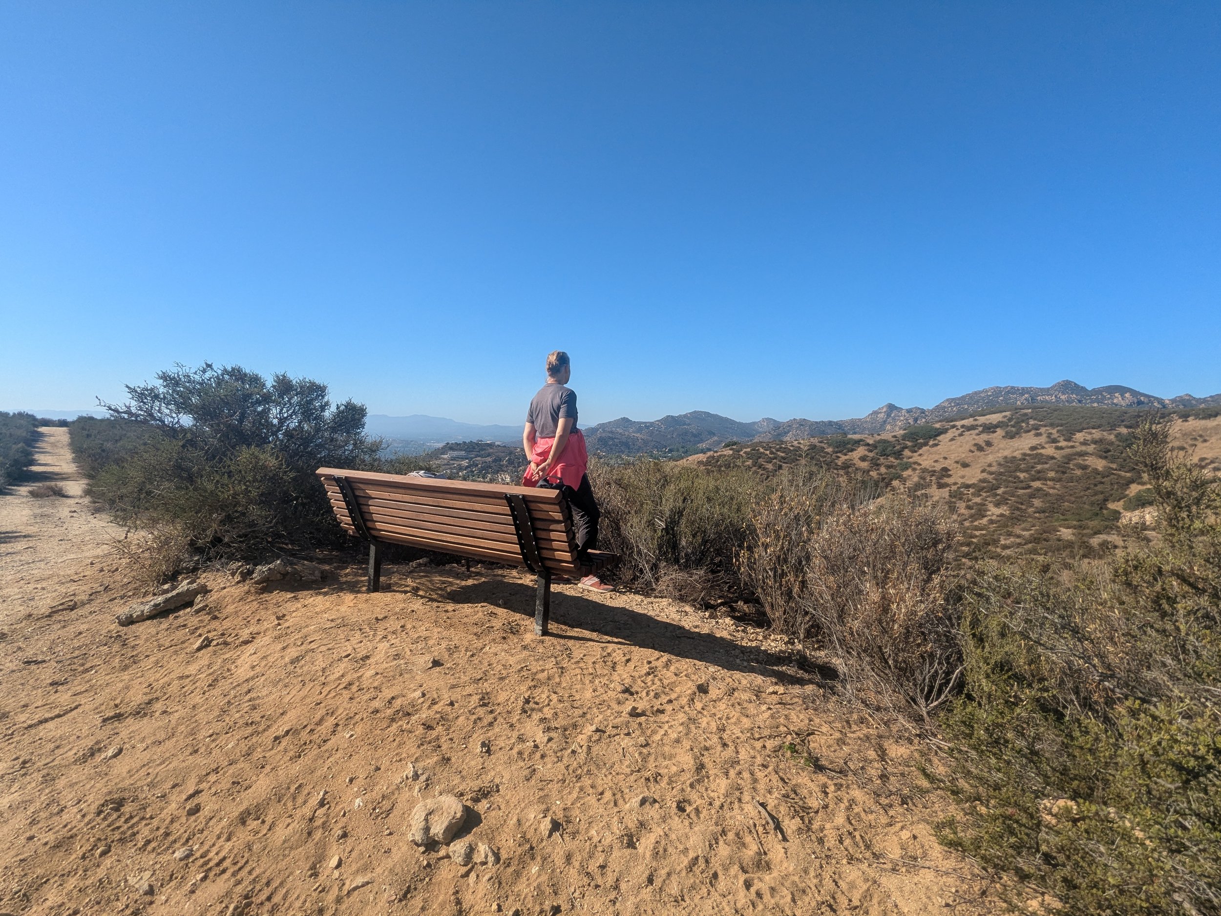
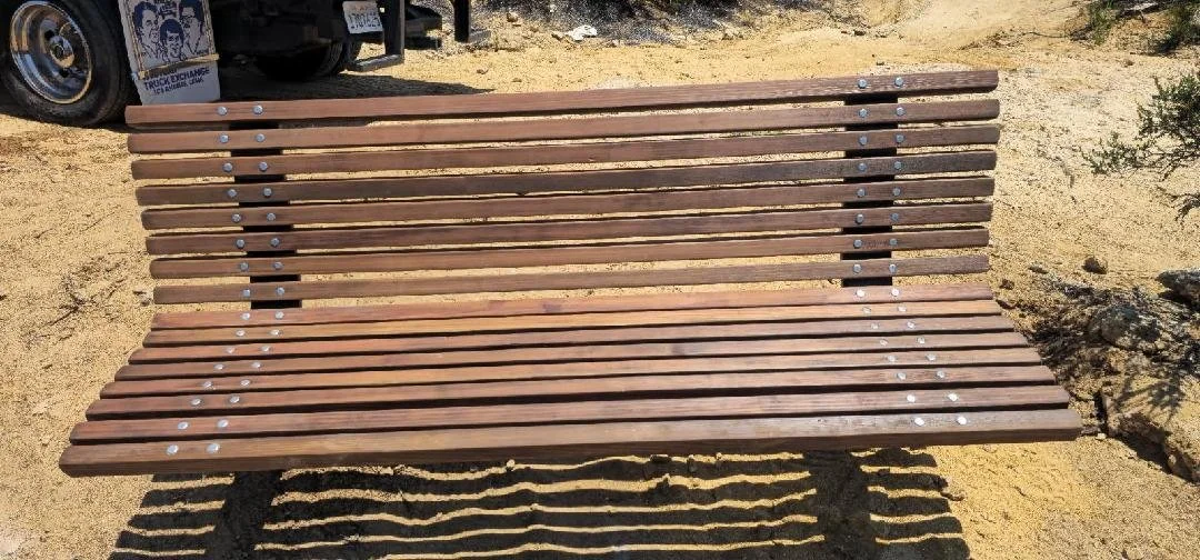
Bench coordinates: 34.05954667328267, -118.65878563069725
-
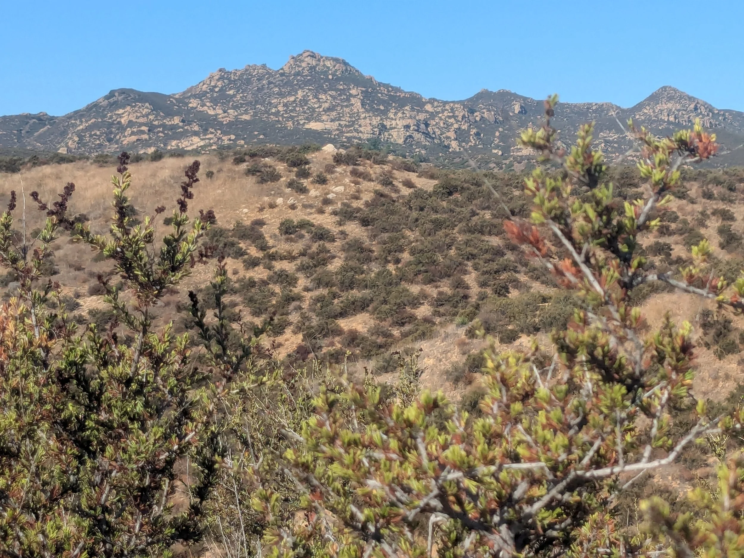
A moderate 3-mile loop hike follows a combination of gravel and dirt paths to top-of-the-world views of rocky peaks and the tallest mountain in the Santa Susana range.
The majority of the trail is exposed; bring a hat, sunscreen, and plenty of water. Sturdy shoes are also recommended.
WiFi and cell service is spotty. Download offline maps before you go.
The trails are wide with occasional single-track stretches. It is rarely crowded, but be prepared to share it with mountain bikers and equestrians.
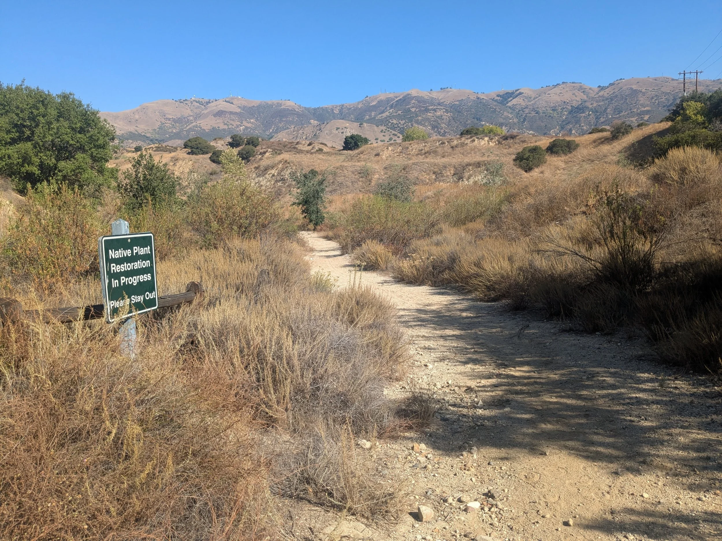
There are several native plant restoration areas just off the trails; heed the signs and stay on designated paths.
Ignore signs on Browns Canyon Road warning drivers that the road is private past the bridge. Cars are permitted on the paved road leading to two fee-parking lots that provide access to trails within Michael D. Antonovich Regional Park at Joughin Ranch.
-
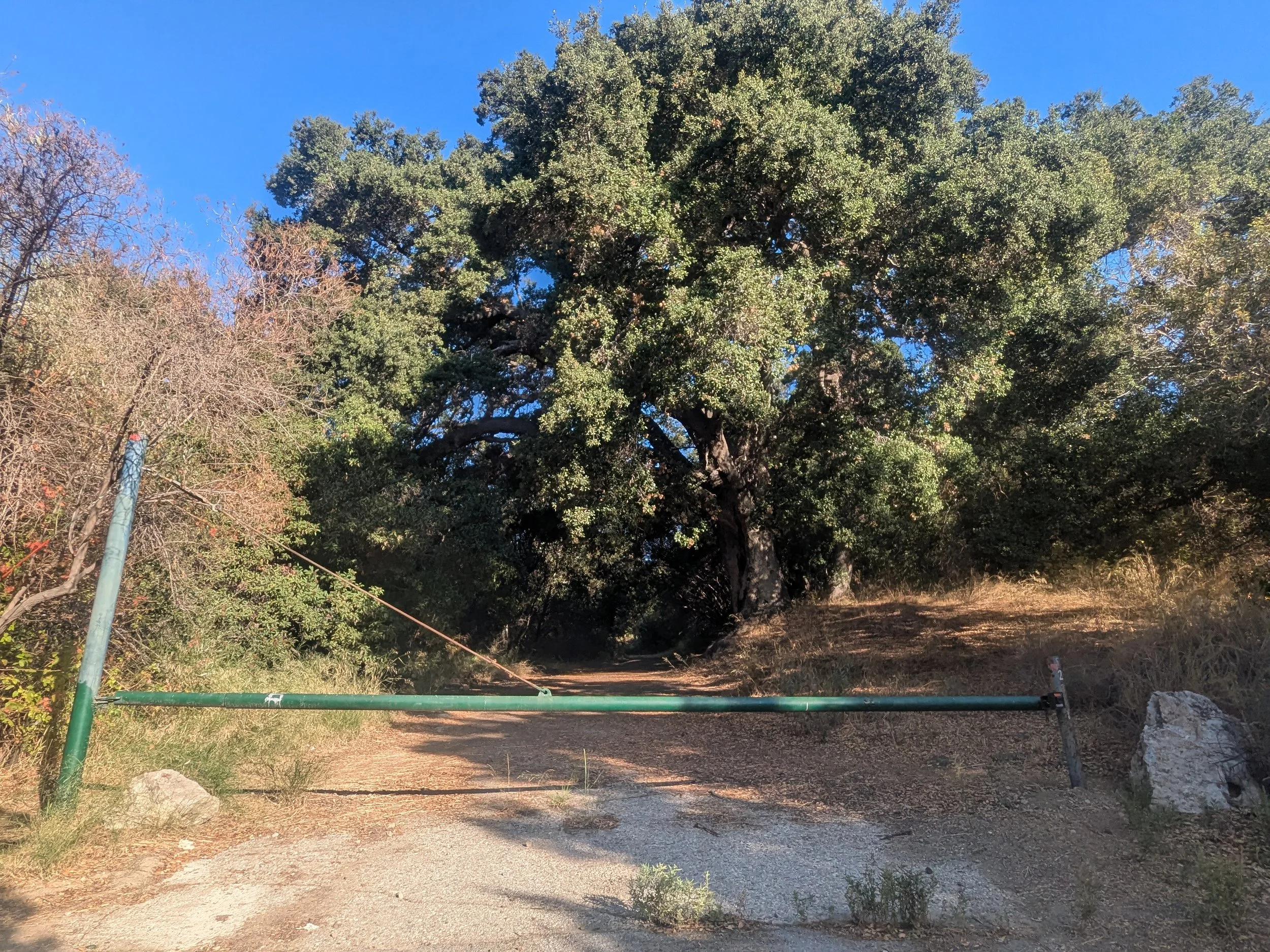
There is a small unsigned dirt lot next to a fire road gate on Browns Canyon Road. Do not block the gate.
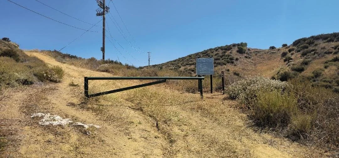
Alternate hike option: continue 2 miles north on Browns Mountain Road to two small fee-lots. The bench can be accessed by picking up the trailhead by the road gate just east of the larger parking lot. After a short ascent, the trail descends south into the canyon, then climbs back up to the ridge for a total of 1.2 miles to the bench. From here, you can retrace your steps back to the parking lots for a round-trip hike of 2.4 miles.
-
Begin hiking at the fire road gate on the west side of Browns Canyon Road. Large oak trees frame the paved path, but soon give way to exposed open space. You might encounter several large cairns marking the path.
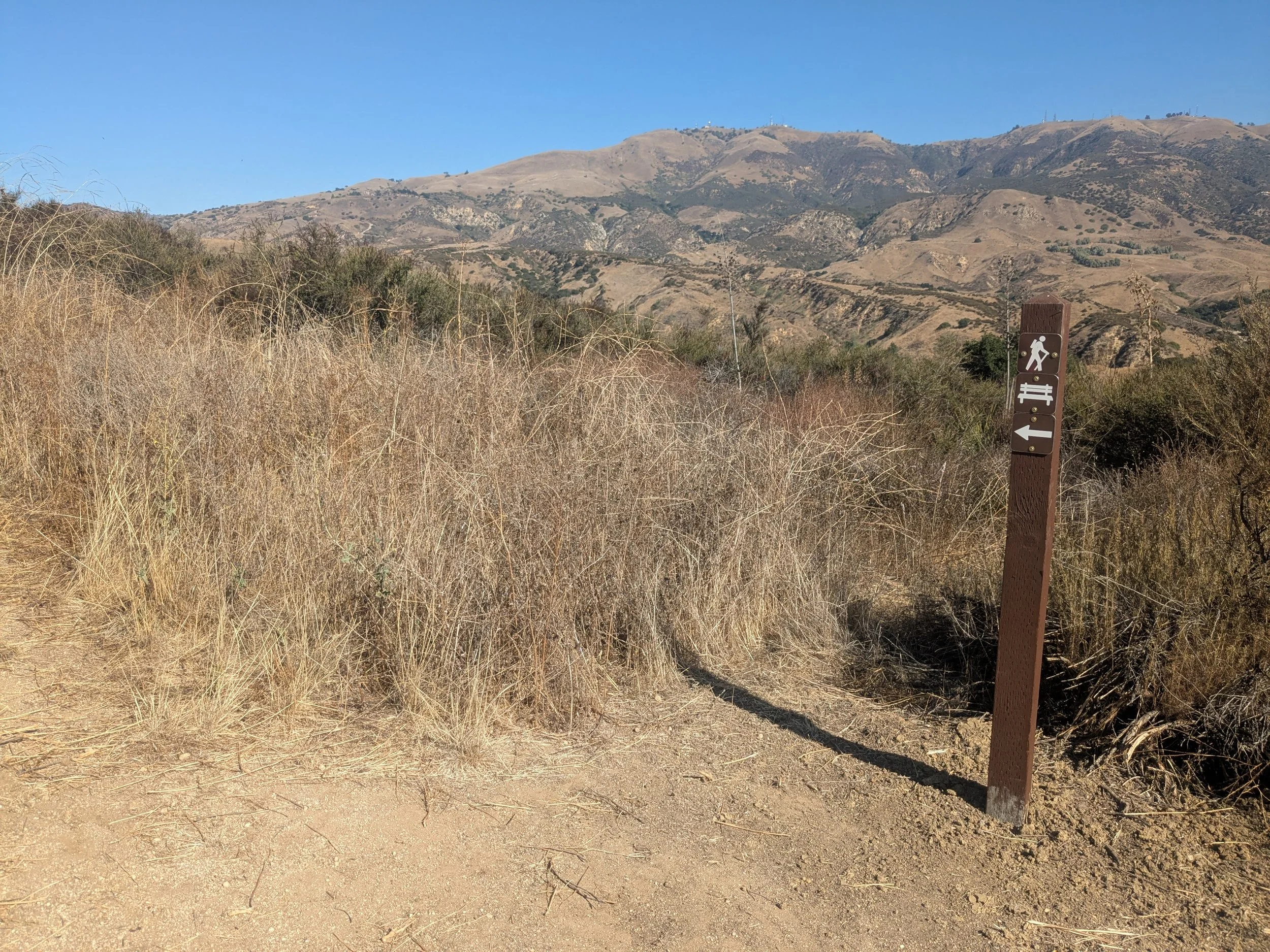
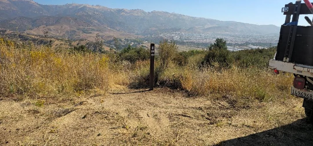
It’s a gradual uphill climb of 0.4 mile to a wide clearing. Take the trail to the left and follow it alongside the wood horse fence on right. The trail narrows and it’s a short but steep hike up to another intersection marked by a wood post with a bench symbol.
Stay to the right and continue uphill another half mile to an unmarked T. Turn right at the ridge and follow it another 0.4 mile to the bench.
From here, you can retrace your steps for 0.3 mile, then turn left at the unmarked trail to complete the loop back to the wide clearing and the fire road gate.
Alternate route:
The bench can also be accessed from the north entrance of Michael D. Antonovich Regional Park at Joughin Ranch.
From the east end of the large parking area, pick up the unmarked trailhead by the road gate. After a short ascent, the trail descends south into the canyon, then climbs back up to the ridge for a total of 1.2 miles to the bench.
-
From I-405, head west on CA-118 (Ronald Reagan Freeway) toward Simi Valley. After approximately 7 miles, take Exit 35/De Soto Avenue. Turn right and make another immediate right onto Browns Canyon Road.
Follow the road 1.2 miles north to an unmarked fire road gate on the left. Park off the road on the west side; do not block the gate.