
curve Loop
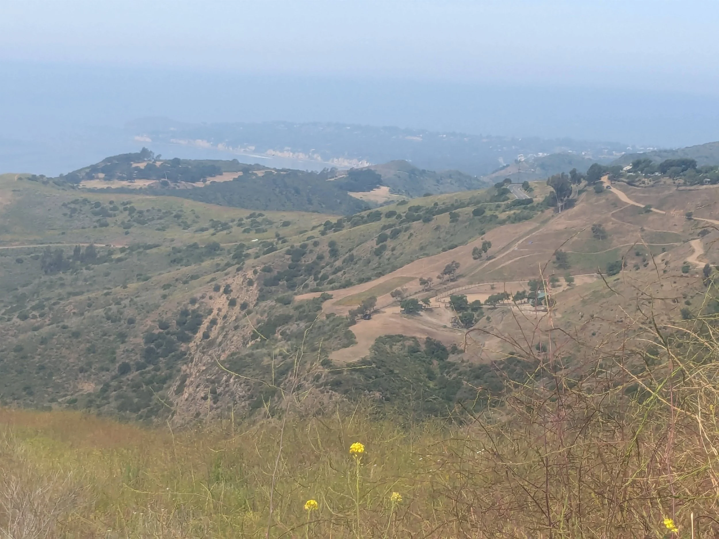
It’s truly a top-of-the-world feeling when you reach this bench bordering two protected parks in the Santa Monica Mountains. It’s the second bench you’ll encounter along Puerco Canyon fire road, about a half-mile up the road from the first one. You’ve just climbed close to 1,000 feet, through a diverse ecosystem of chaparral, coastal sage scrub and native grasslands. More trails and higher viewpoints await deeper into the preserve, but this stop is an ideal place to rest and appreciate the extraordinary views of mountains and canyons merging with layered shades of blue ocean and sky.
The pigs that once roamed the canyon are long gone. Now known as Cameron Nature Preserve, the protected land connects Corral Canyon Park with Malibu Creek State Park and the continuous 67-mile Backbone Trail. You may see a few mountain bikers and committed hikers, but don’t expect crowds or urban noise that will disrupt the peaceful vibe. Most people who make their way here know it’s a special place – more than 700 acres of undeveloped public land with connecting trails that allow us to briefly and joyfully interact with nature.
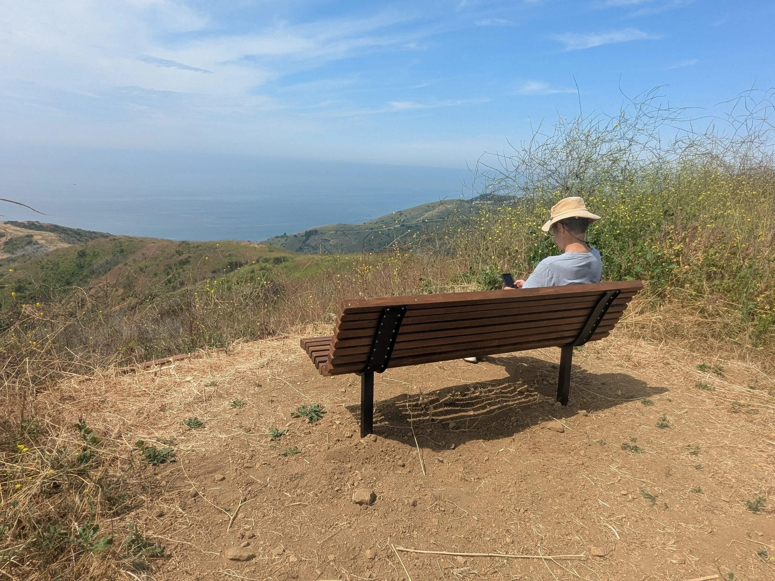
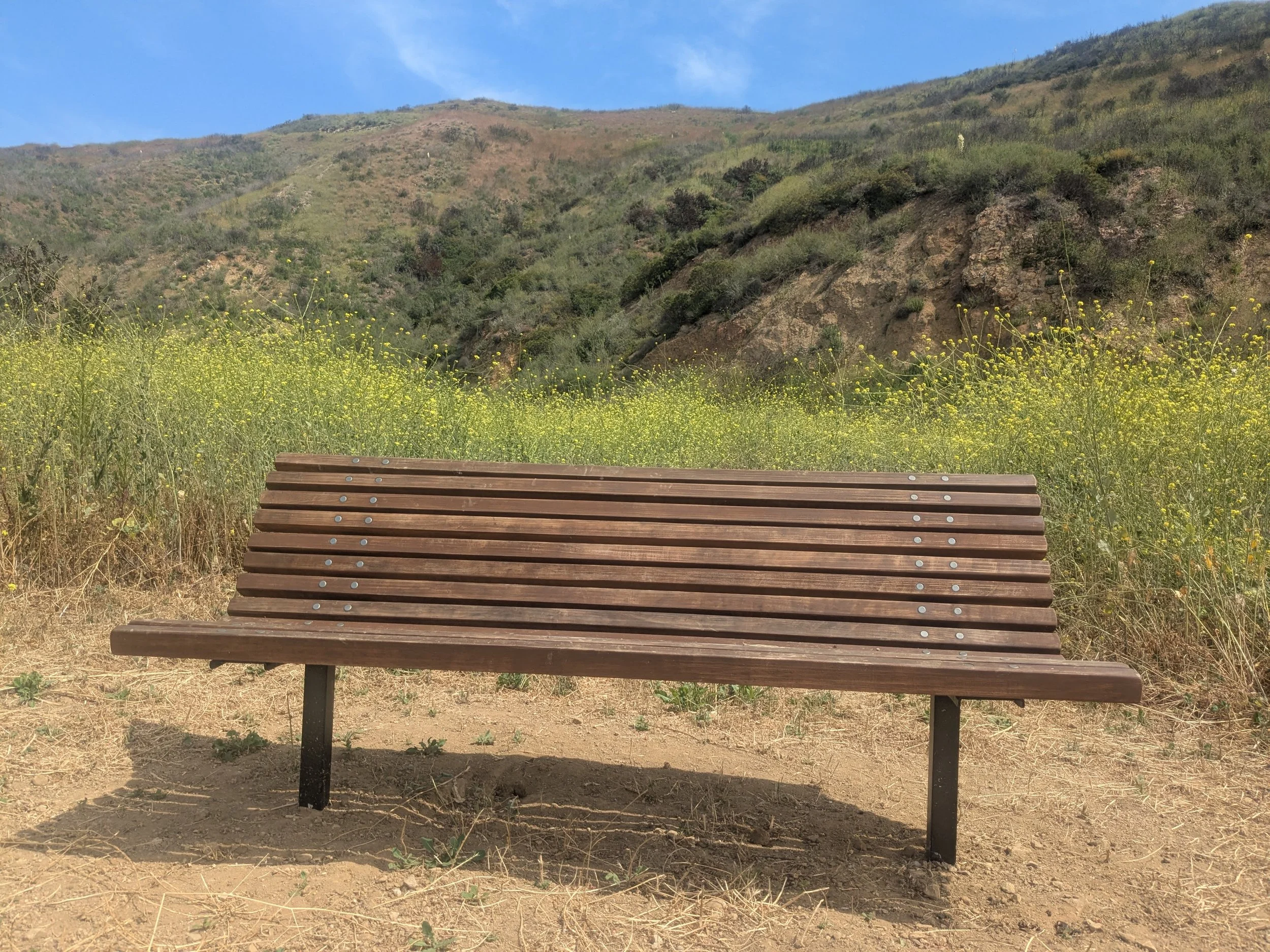
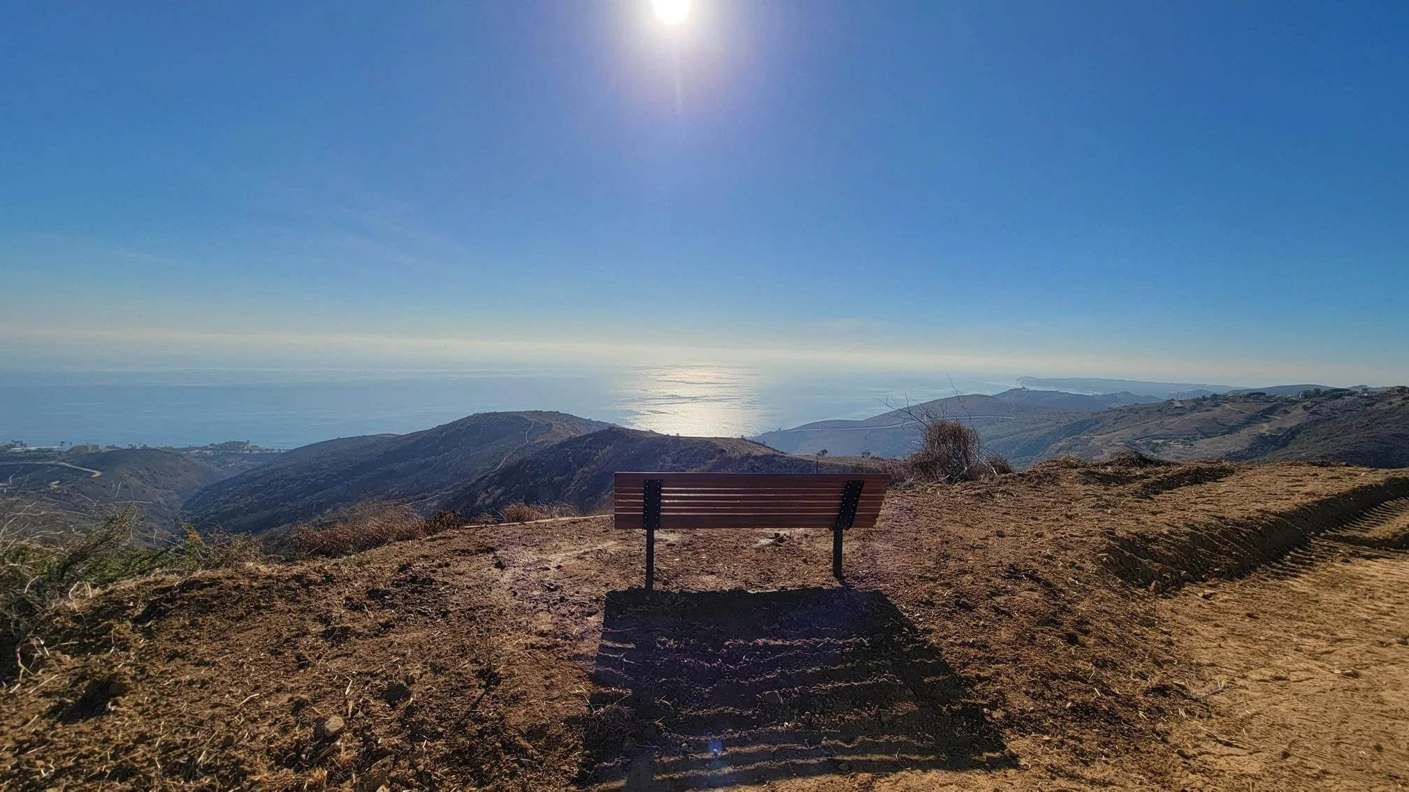
Bench coordinates - 34°02'48.4"N 118°43'38.6"W

-
This 2.4-mile round-trip hike follows a dirt fire road (Puerco Canyon Motorway) to a bench with wide-open views of the Pacific Ocean and Malibu coast.
The well-maintained fire road is used by both hikers and mountain bikers. Leashed dogs are allowed.
There is no shade; bring sunscreen, hats and plenty of water. Expect some overgrowth and uneven terrain along the fire road and side trails in the spring following winter rains.
Cell phone and WiFi coverage is limited; bring printed maps or download maps in advance.
Be sure to wear sturdy shoes and use caution after rainy periods. The trails can get muddy and rutted.
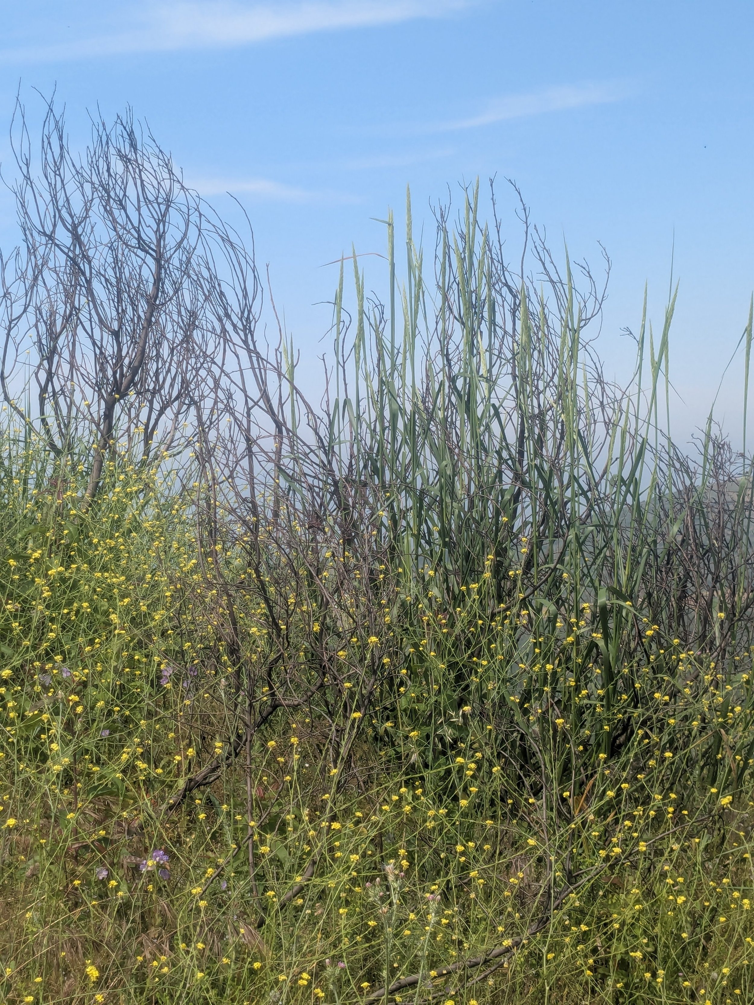
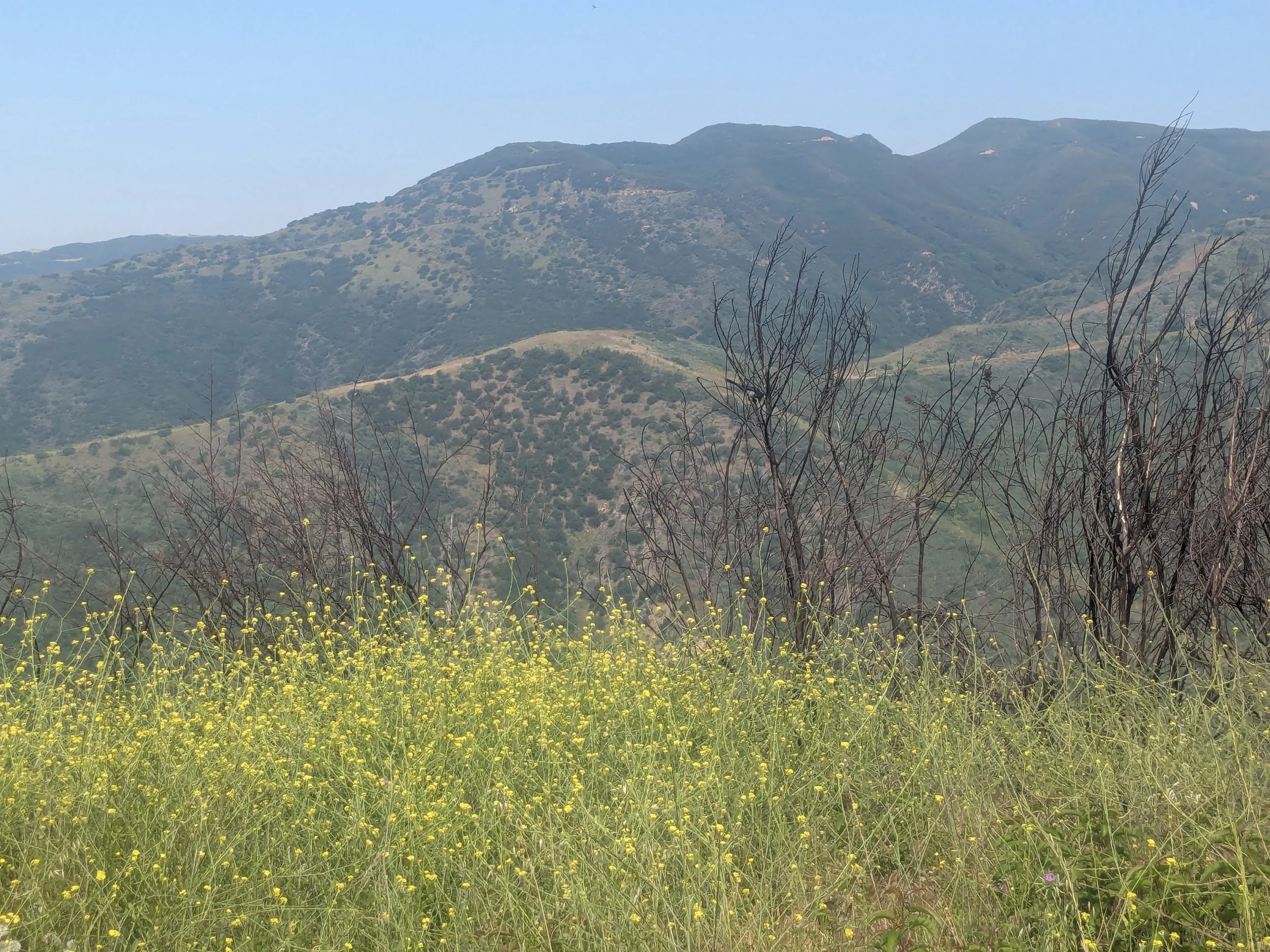
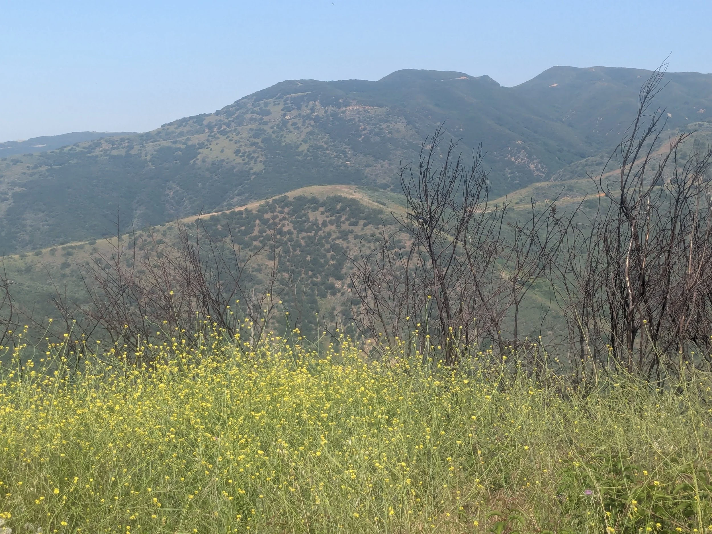
The Woolsey Fire swept through Puerco Canyon in 2018; more recently, the Franklin and Palisades fires threatened the area. Recovery has been slow and steady, and signs of regrowth were evident in spring 2026: “Fire followers” such as bush mallow and lupine were growing along the fire road and side trails, while stalks of giant wildrye grass towered over non-native mustard and clusters of milk thistle. Laurel sumac and narrowleaf milkweed, an important host plant for Monarch butterflies in California, had returned, green and robust.
-
The trail begins at the fire road gate and Santa Monica Conservancy sign at the end of paved Puerco Canyon Road.
After about a half-mile of uphill hiking on a wide dirt fire road (Puerco Canyon Motorway), you will pass an unmarked turnoff on the right for De Bell Ranch Trail. Continue straight a few hundred yards on the fire road. To the left is a clearing and trail marker for the Zev Yaroslavsky Coastal Slope Trail leading to the first bench along this trail.
To reach the second bench, continue north on the fire road another 0.6 mile to a fork in the trail and follow the trail to the left a short distance. You’ll find the second bench here.
Those seeking a longer, more strenuous hike can continue on the fire road another 1.8 uphill miles to a turnoff for Mesa Park Motorway, which is part of the Backbone Trail linking Will Rogers State Park to the east and Point Mogu State Park to the west. This stretch has an elevation gain of about 1,300 feet and is recommended for experienced hikers only.
-
Follow Pacific Coast Highway north toward Malibu. Approximately 2.8 miles north of the Malibu Pier, turn right on Puerco Canyon Road and follow it through a residential area approximately 1.2 miles until the paved road ends at the trailhead gate.
-
3501 Puerco Canyon Road; free parking on Puerco Canyon Road before the gate (be sure to stay behind the white lines); 1 port-a-potty at trailhead.