
pico
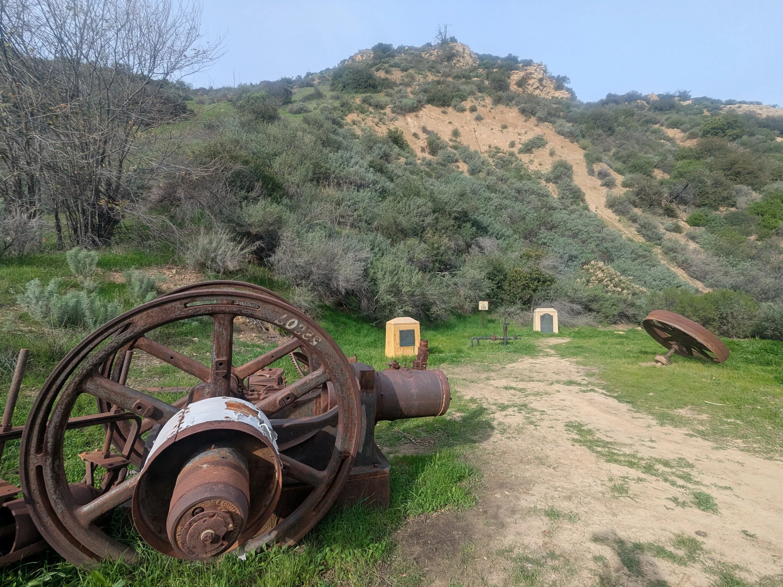
At the end of a flat, paved road deep in the Santa Clarita Woodlands sits a clearing layered in California history. Concrete markers memorialize an oil well, known as Pico No. 4, that struck black gold in 1876. By the time it was capped in 1990, it was the longest continuously operating oil well in the world.
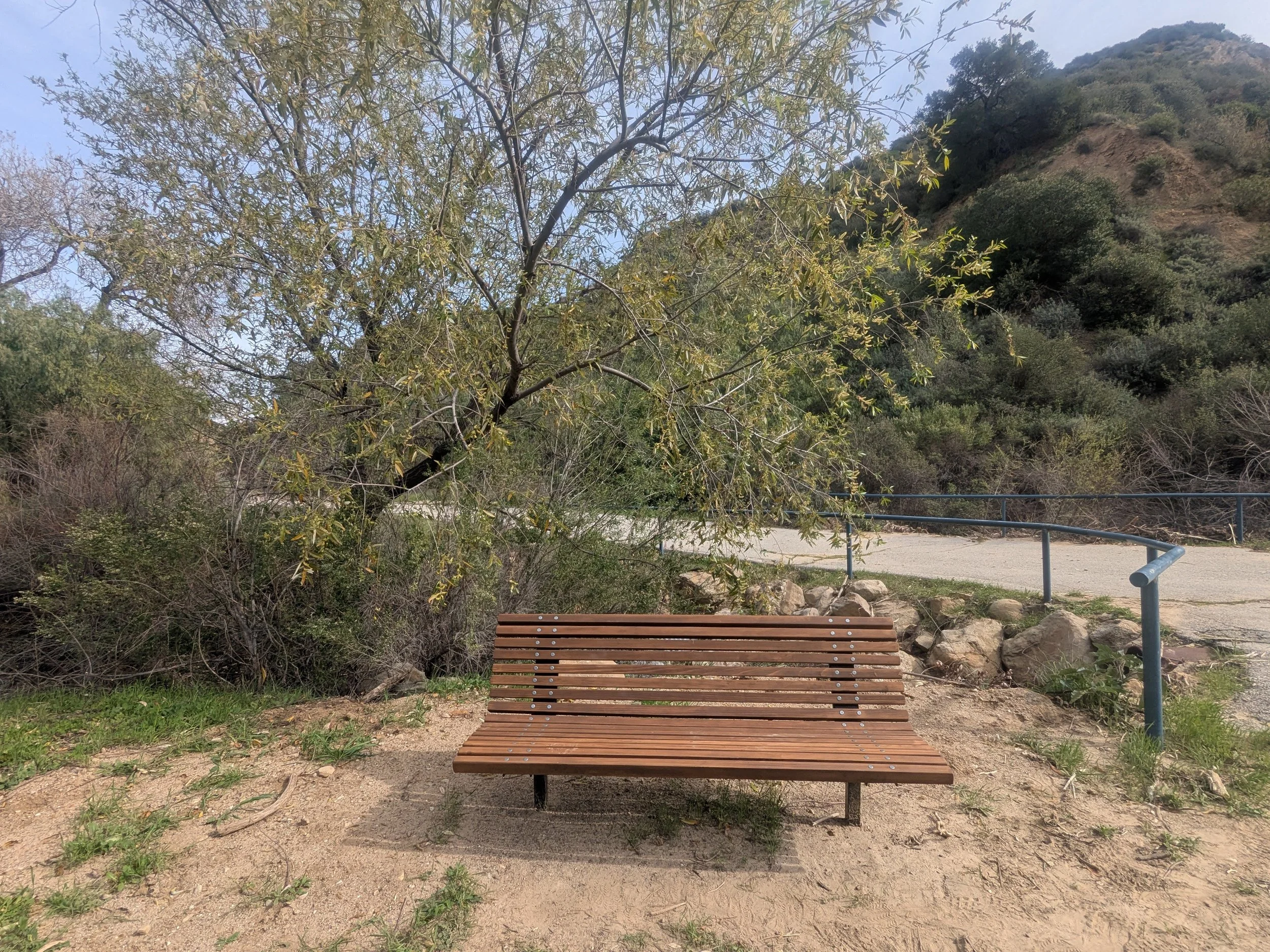
A bench beside a seasonal creek offers a quiet place to rest and reflect on this important landmark. At its peak, the well produced as much as 150 barrels a day. Its success led to the creation of the Pacific Coast Oil Company (a predecessor to Standard Oil and Chevron) and the state’s first oil refinery. It’s now a state historic landmark, as is Mentryville, the abandoned town that grew up around it.
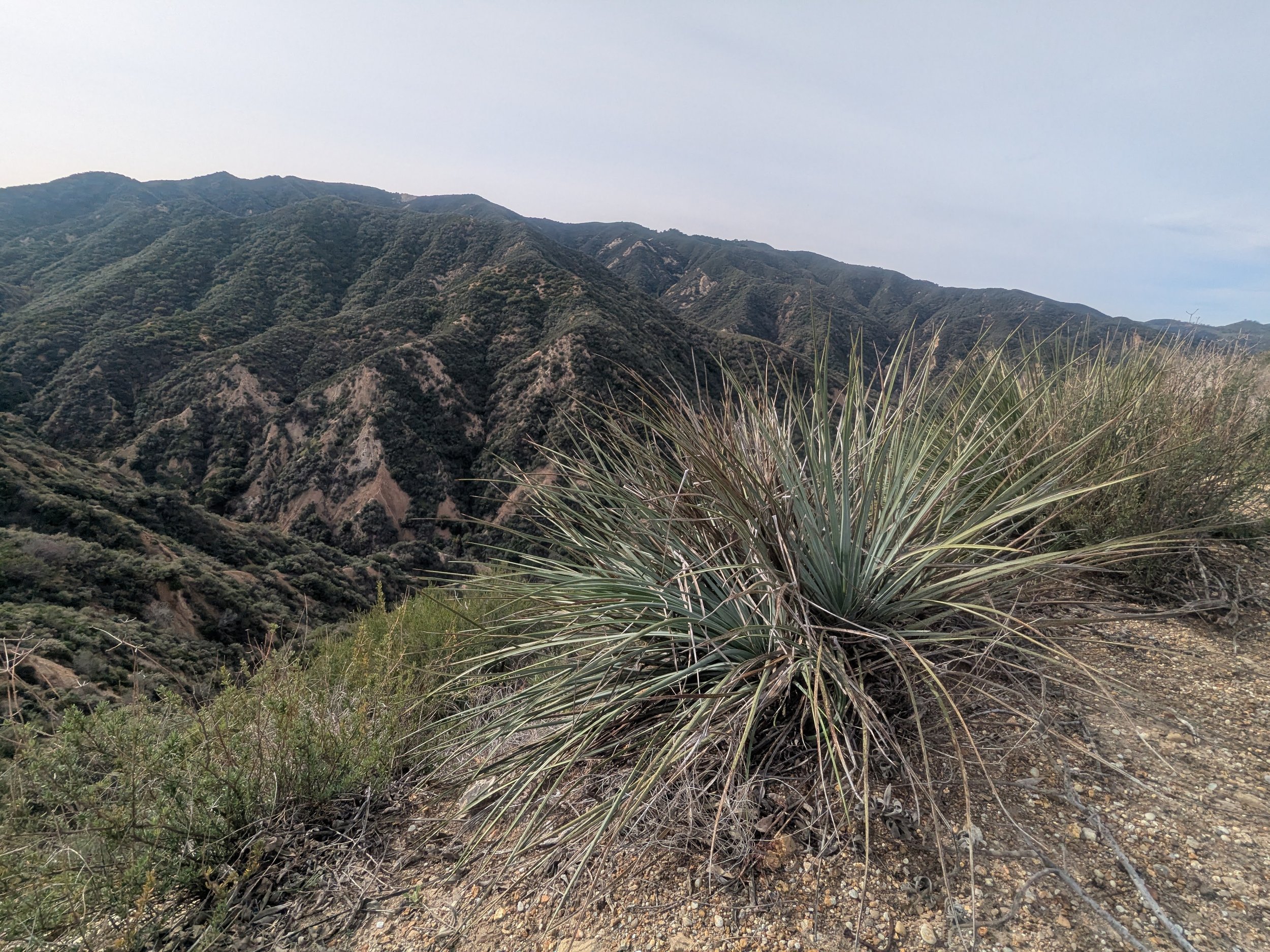
Beyond the markers and machinery remnants are hillsides thick with buckwheat, sage, laurel sumac, and yucca. It’s pin-drop quiet, a reminder that the area was discovered long before the drillers showed up. The Mexican general Andres Pico, for whom the canyon is named, explored its crevices in the 1850s following the Mexican-American War. Long before that, the Tataviam tribe lived and traded in small villages throughout the river valley.
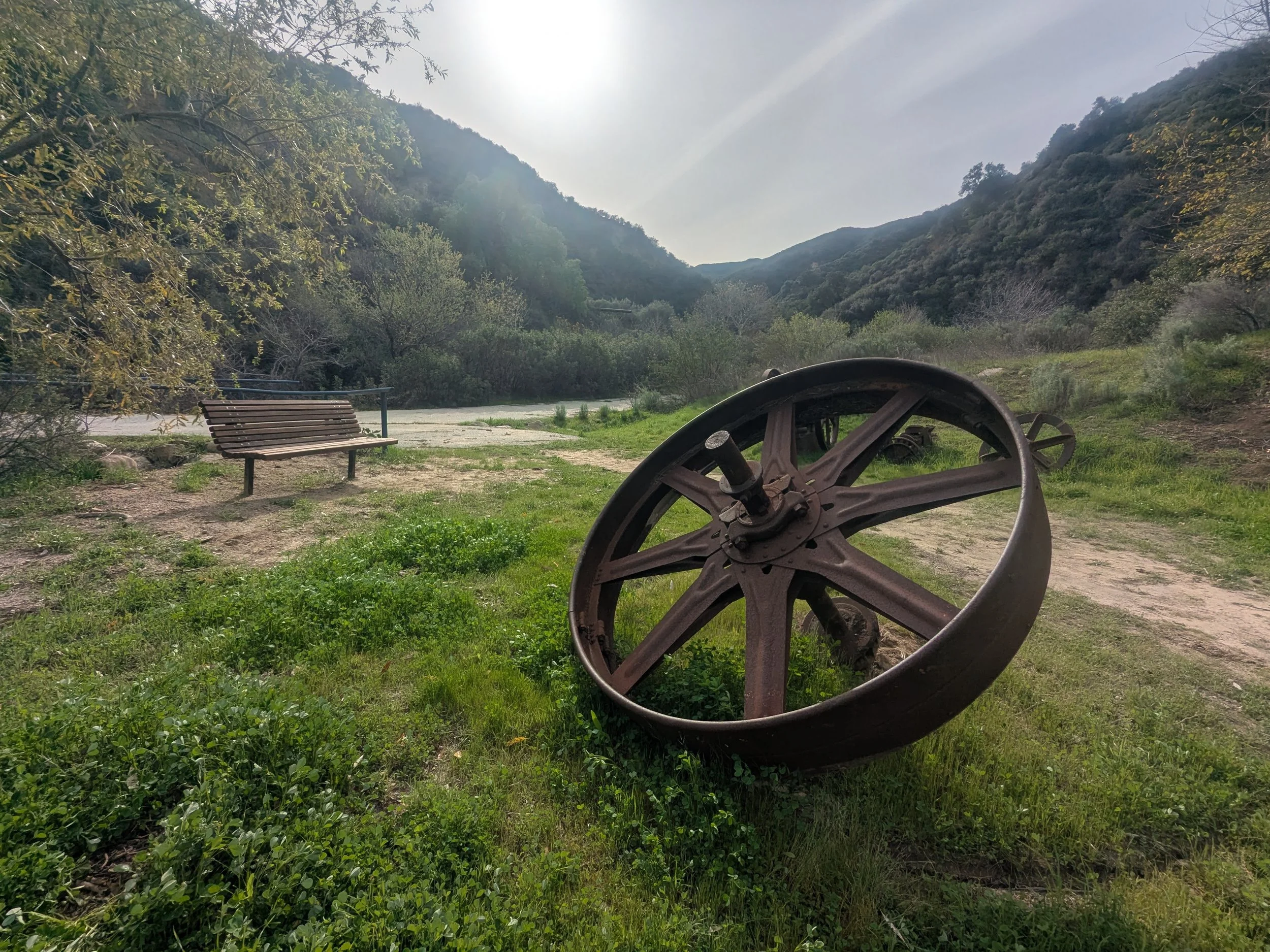
Bench coordinates - 34°22'14.0"N 118°37'45.2"W
-
Mentryville is a town built in the 1880s for oil workers and their families after Charles Alexander Mentry discovered rich deposits of oil nearby. Its exterior buildings (now abandoned) are open to the public daily from sunrise to sunset and can be explored before or after a hike in Pico Canyon.
An easy 3-mile round-trip hike begins at Felton Bench by the red schoolhouse and follows a paved creekside trail past old mining equipment and oak woodland to Pico Bench and the site of California’s first commercial oil well.
The majority of the trail is exposed; bring a hat, sunscreen, and plenty of water. Avoid the trail in summer, when temperatures can reach triple digits.
The trail is mostly easy to navigate, but patches of sand and loose gravel are present. Sturdy shoes are recommended.
WiFi and cell service are limited throughout the property. Download offline maps before you go.
The property attracts families with small children, hikers, and mountain bikers on its upper slopes.
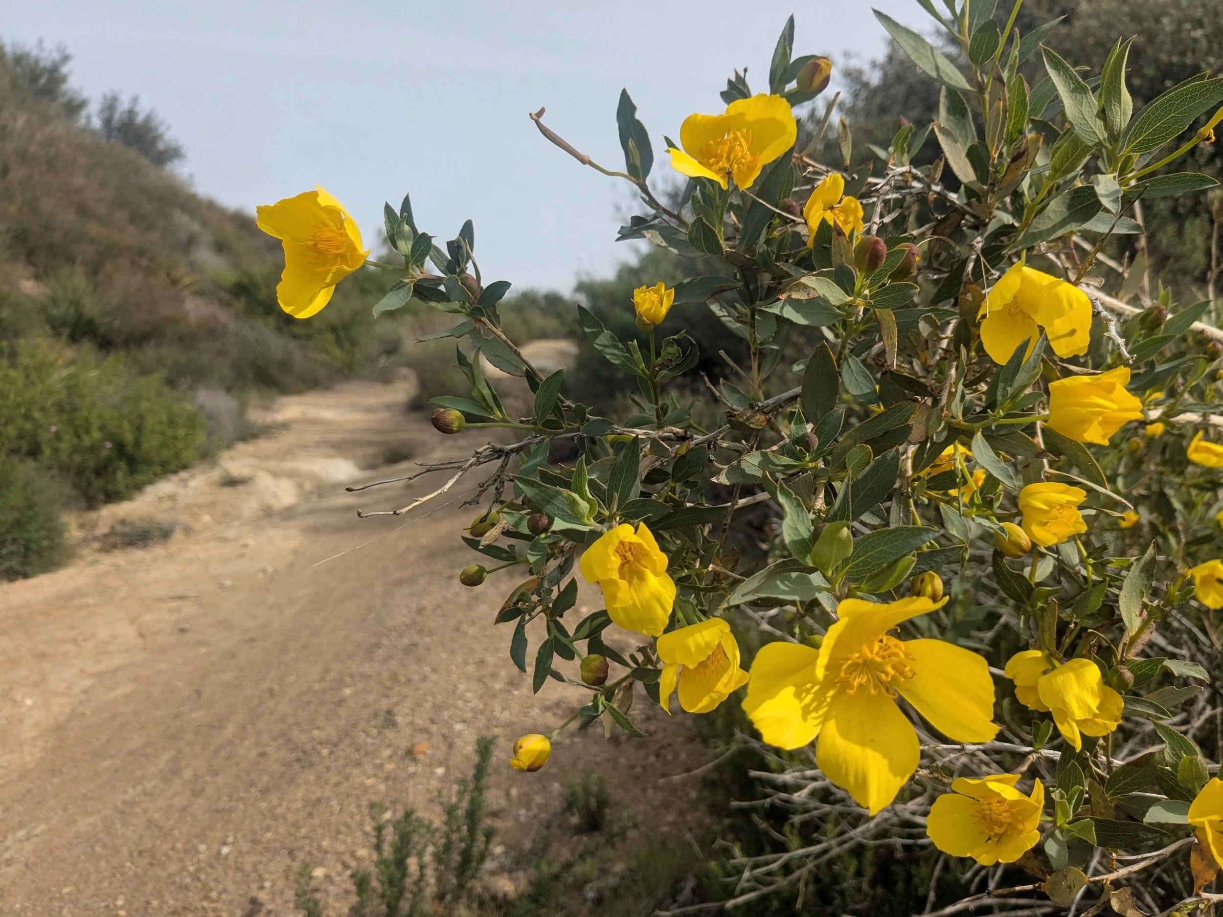
In late winter and spring, yellow monkeyflowers, California poppies and purple lupine often dot the upper hillsides. California sycamores, oaks and cottonwoods dwell year-round in the lower canyon.
-
From the paved parking lot, cross the bridge and look for the Felton schoolhouse, a restored red building that served as Mentryville’s school from 1885 to 1932.
It’s a 1.5-mile hike to Pico bench from here. Follow the paved fire road up the canyon, away from the town. The road parallels a seasonal creek which is typically flowing in winter and early spring.
After about 1 mile, you will see Johnson Park across a small bridge on your left. This was once a picnic and recreational area for the residents of Mentryville. The smoker, grills and tables are surprisingly intact, as if ready for people to show up for a big Sunday BBQ.
Continue up the canyon another half-mile to a clearing on the right with the bench and concrete markers memorializing Pico No. 4.
From here, it’s an easy 1.5-mile walk back to the parking lot.
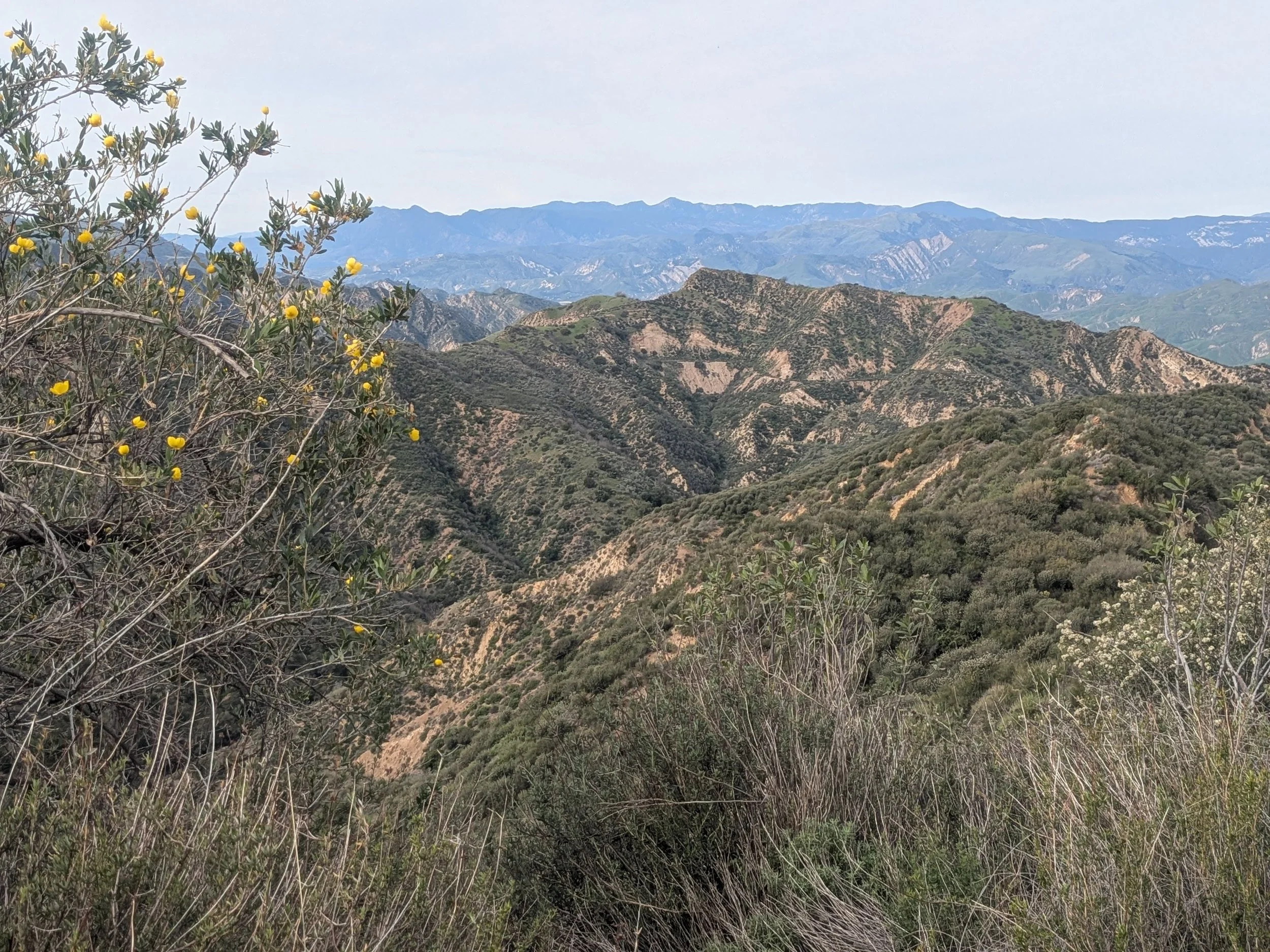
The hike can be extended to 7 miles (round trip) by continuing on the paved road for a quarter mile, then picking up the narrower dirt-and-asphalt trail as it climbs the hillsides to a clearing with expansive valley and mountain views.
The trail climbs upward in earnest for the next mile and a half, gaining close to 1,000 feet in elevation. The path is mostly dirt, with some underlying pavement beneath.
You’ll start to catch views of the Santa Clarita Valley to the south and the Santa Susana Mountains. Chaparral and wind-pocked rock formations are your only companions as you continue to climb.
At about mile 3.4, the trail opens up to a wide clearing with views of the Santa Susana Mountains and Santa Clarita Valley. From here, you can retrace your steps back to the parking lot.
-
Take the Golden State Freeway (I-5) north toward Santa Clarita and Valencia. Take exit 167 (Pico Canyon Road) and turn left (west) on Pico Canyon Road. Follow it 2.5 miles to a fork in the road and bear to the left on Pico Canyon Service Road.
There is a no-fee dirt parking pullout here, just outside the road gate. If you park here, it’s a 0.4 mile walk to the trailhead. Or you may continue driving 0.4 miles to the fee parking lot to the left of the Mentryville property entrance.
-
There is a small dirt parking lot beside the road gate at Pico Canyon Service Road. There is no fee, and it’s a 0.4 mile walk along a paved road to the park entrance. The road gate is open from sunrise to sunset.
You can also continue driving on Pico Canyon Service Road past the gate and park in the paved parking lot to the left of the entrance for $5 (cash or check). Look for the kiosk with envelopes near the bridge.