
CABALLERO CANYON EDGE
The bench, one of two along Caballero Canyon Trail, faces a seasonal creek and hillsides that bring a symphony of sounds, as well as wildflowers, to the area in later winter and spring. Listen for the trills of California towhees amid the wind whistling through leaves. You may also see orange blurs of darting butterflies and inhale the earthy scents of white sage and bay laurel. Caballero Canyon is alive year-round with the sounds and scents of a riparian community layered with diverse plants and wildlife.
The trail is a popular link to Dirt Mulholland and other hiking and biking routes in the Santa Monica Mountains, but it’s worth finding time to linger and appreciate the peaceful protected space that is surprisingly close to dense urban areas. Take a moment to breathe, listen and exhale.
This is one of two benches located along Caballero Canyon Trail before it ascends to Dirt Mulholland and other trails in the Santa Monica Mountains.
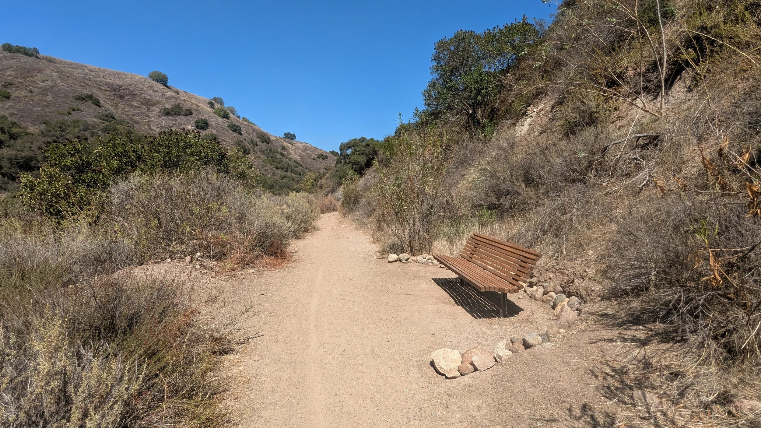
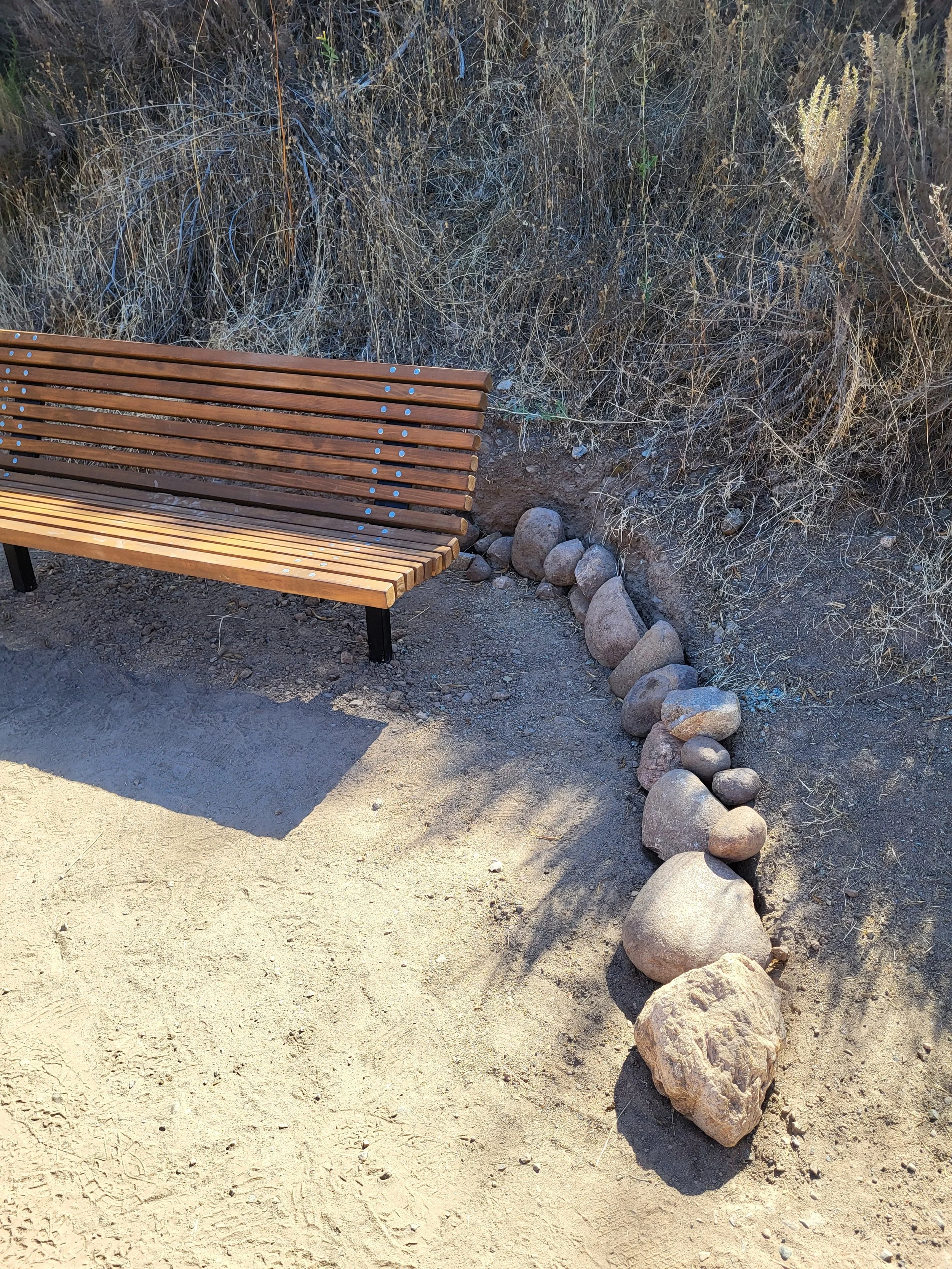
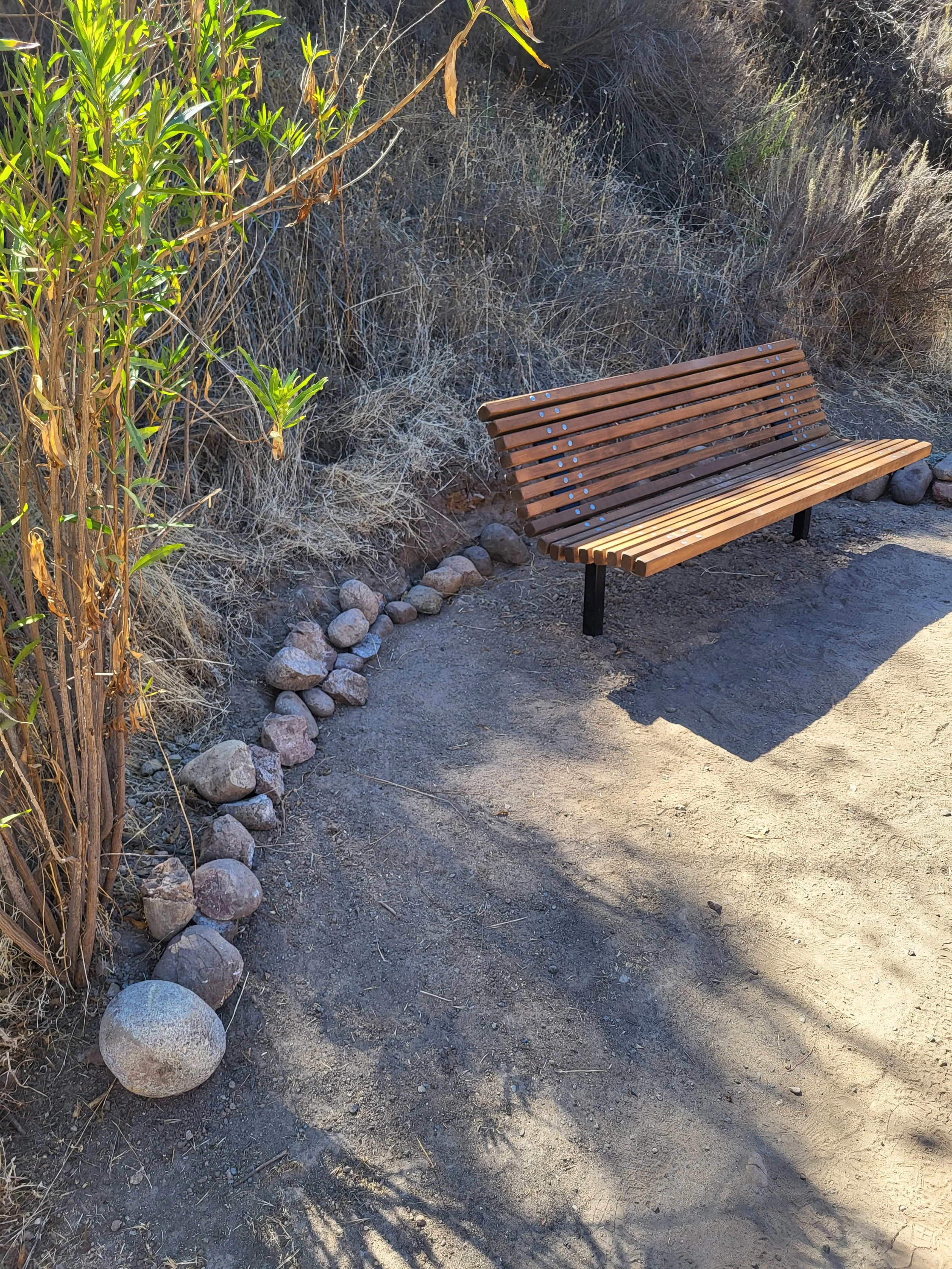
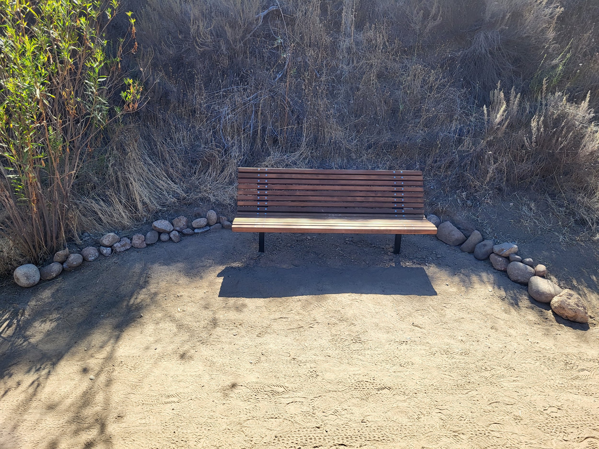
Bench coordinates - 34°07'59.5"N 118°32'50.2"W
-
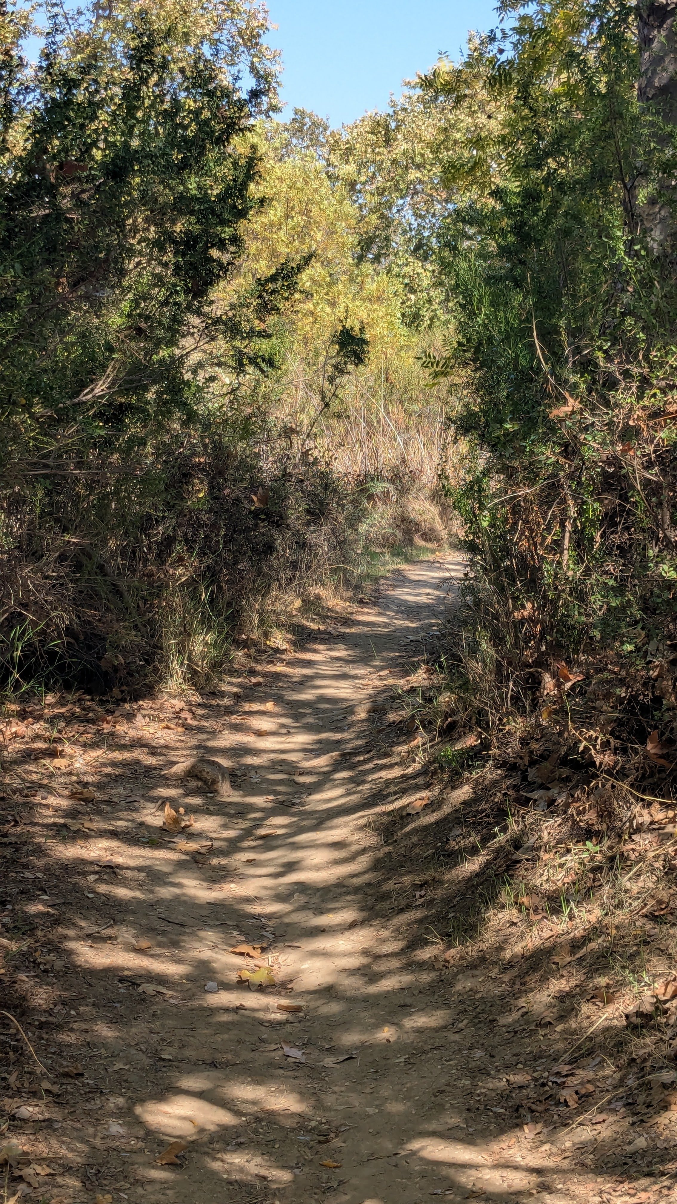
Caballero Canyon Trail starts out mostly flat and shaded by mature oak and sycamore trees. It follows a seasonal creek, typically dry in summer, for about a mile then ascends to Dirt Mulholland and other trails in Topanga State Park.
It can be hiked as a moderate 3-mile out-and-back trek or as a gateway trail to reach other sections of the Santa Monica Mountains, such as San Vicente Mountain Park or Gizmo Peak.
The dirt trail is moderately easy with a gradual elevation gain of 550 feet.
The second half of the trail is exposed; a hat, sunscreen, and at least 2 liters of water are recommended.
WiFi and cell service are not available on most of the trail.
Following heavy rains, parts of the trail may be washed out and require a stream crossing. Sturdy shoes are recommended.
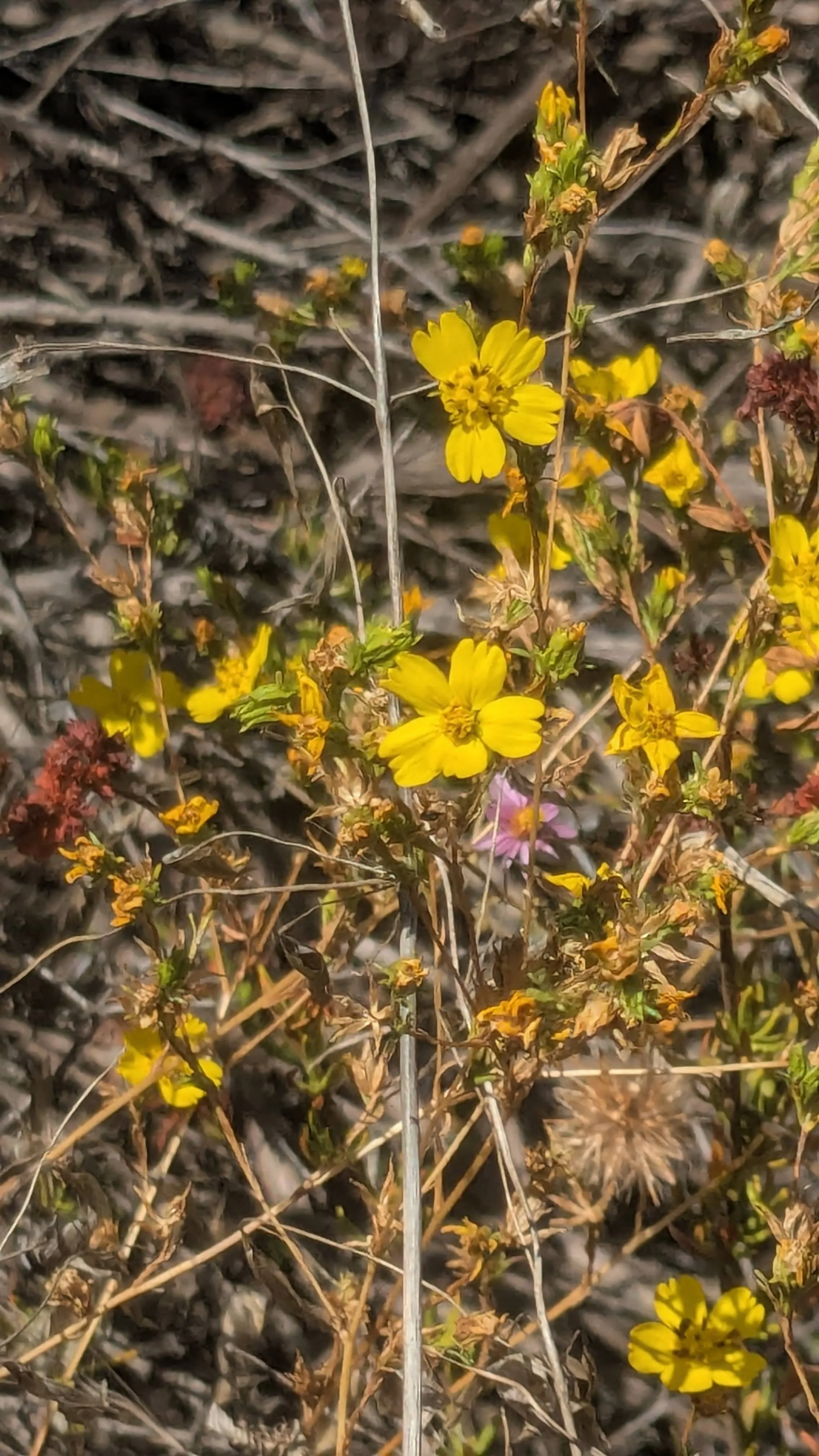
Highlights of Caballero Canyon Trail include California sycamore trees, a seasonal creek and a rich chaparral ecosystem that includes chamise, toyon, white sage, and spring wildflowers.
Leashed dogs are allowed in the lower part of Caballero Canyon, but not on the last half-mile of the trail, when it crosses into Topanga State Park.
-
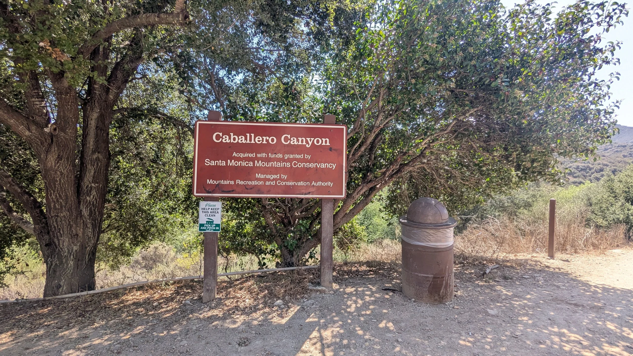
Look for the large Caballero Canyon sign at Reseda Boulevard just before Country Club Place. Follow the trail to the right of the sign and continue right past a wood post with a bench symbol.
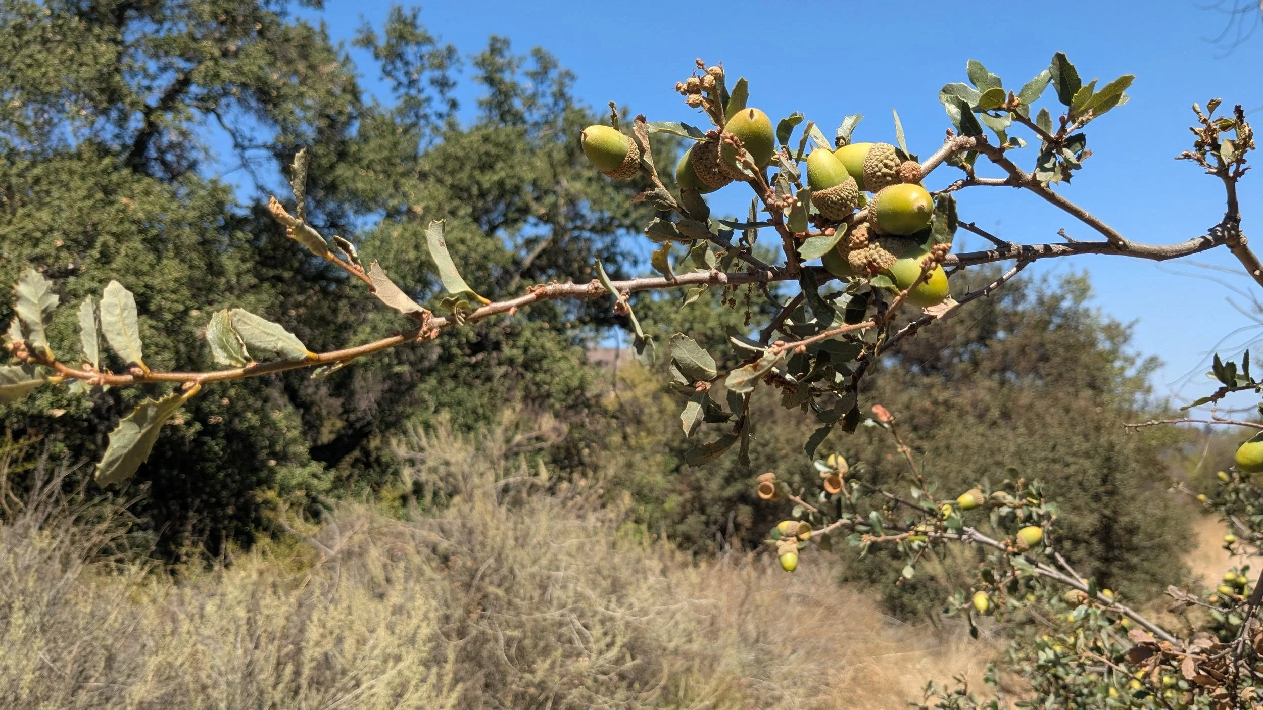
The trail briefly descends, then flattens amid a woodland that includes oaks and sycamores and follows seasonal Caballero Creek, which is typically dry in spring and early fall.
At 0.8 mile, you will reach the Caballero Edge Bench.
From here, the trail soon begins a steady half-mile ascent to the fire road known as Dirt Mulholland.
After enjoying views of multi-layered peaks and canyons that extend to the ocean on clear days, you can opt to turn around and retrace your steps back through Caballero Canyon for a 3-mile out-and-back hike. Or turn left (east) and follow Dirt Mulholland about 2.3 miles to San Vicente Mountain Park, where there are restrooms, interpretive signs, and picnic overlooks.
-
From US-101, take exit 23/Reseda Boulevard. Head south on Reseda Boulevard for 2.2 miles.
The trailhead is on the left (east) side of Reseda Boulevard, just before the stoplight at Country Club Place.
Free parking is available on both sides of Reseda Boulevard. Be sure to heed the signs and park within the white lines.
-
There is free parking along both sides of Reseda Boulevard near the trailhead. Be sure to obey the no parking signs and avoid parking on the bike paths.
There are no bathrooms or other amenities at the trailhead.
Primitive bathrooms and water are available 1.2 miles away near the entrance to Marvin Braude Mulholland Gateway Park.
-
Restroom: Not at trailhead
Shade: Yes
Picnic Area: No
Drinking Water: No