
Fran Pavley Meadow
Don’t underestimate the incredible history of this peaceful 71-acre meadow. Once part of a historic cattle and equestrian ranch, these gently rolling hills were targeted for a massive housing development four decades ago, the oak woodland and savanna vegetation flattened by bulldozers before locals succeeded in preserving it. Now it’s part of a protected core habitat adjacent to the open space of Liberty Canyon and the Wallis Annenberg Wildlife Crossing, which provides a safe and sustainable passage for wildlife across the Ventura Freeway.
The bench is a perfect place to contemplate the tireless work of former state senator and climate activist Fran Pavley, for whom the meadow is named. Perched on a hillock near the meadow’s center, it’s surrounded by whispering grasslands, aromatic coastal sage scrub and views of chaparral-covered hills. Keep an eye out for hawks, deer, bobcats, and coyotes. The valley oaks in the lower canyon are growing, too, perhaps from acorns dropped by their forebears. A welcome gateway to a community’s love for nature and determination to honor its past.


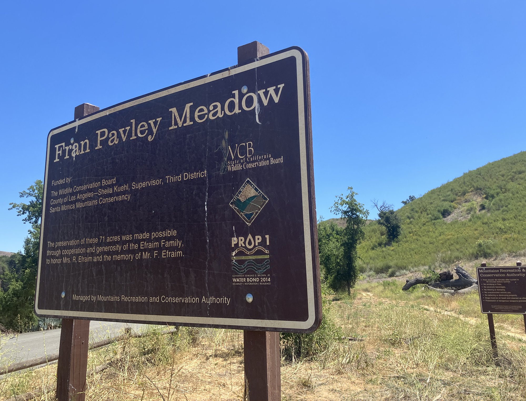
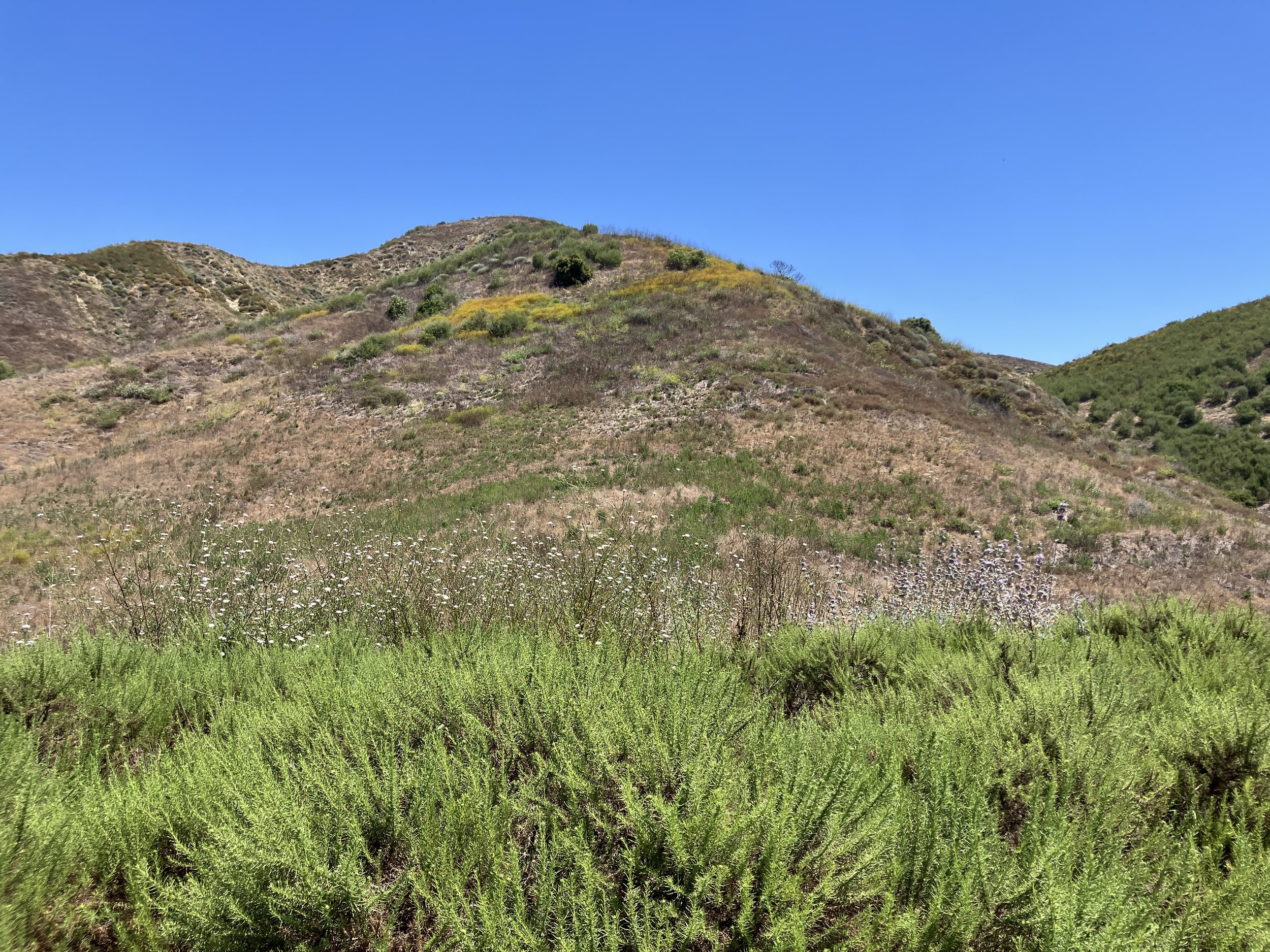
Chesebro Road Trailhead 34°08'54.2"N 118°44'12.7"W - 1 mi RT
Bench coordinates - 34°08'39.0"N 118°43'58.6"W
-
The mostly flat trail to the bench is 1.1 miles round trip. It is open to hikers, equestrians, and mountain bikers.
The majority of the trail is exposed; bring a hat, sunscreen, and water. Temperatures can reach triple digits here in the summer.
In the spring months following winter rains, the trail may be overgrown in some areas. Sturdy shoes are recommended.
WiFi and cell service are available.
Highlights: valley oaks, grasslands, coastal sage scrub, wildlife (deer, coyotes, rabbits, bobcats)
Look for remnants of a drinking trough for animals just after the first trail fork. It is a likely relic from Morrison Ranch, a working equestrian and cattle ranch that thrived here during the first half of the 20th century.
-
The trail begins at the road gate on the right side of Cheseboro Road.
Walk around the gate and head south on the wide dirt path toward the mature valley oak trees.
Just past the trees, the trail narrows and reaches a V. Follow the path left toward the meadow and away from the wider dirt road that parallels the wood fence. Soon you’ll come to a wooden trail marker with a bench symbol.
Continue on the path about another 0.3 mile to an unmarked intersection. To reach the bench, take the unmarked path to the right and ascend a few 100 yards to a small clearing. (The wider path on the left leads away from the bench and deeper into Liberty Canyon.)
From here, retrace your steps back to the road gate for a total round-trip hike of 1.1 miles.
-
From US-101 in Agoura Hills, take exit 35 (Chesebro Road/Palo Comado Road).
Follow Palo Comado Road north to Chesebro Road and turn right.
At about 0.2 mile, look for a parking pullout on the left across from a wooden fence and a few large oak trees.
If the lot is full, continue about another 0.5 mile to Cheseboro Canyon Road and turn right. There is a paved lower lot on the left and a larger paved lot at the end of Cheseboro Canyon Road with vault toilets.
-
There is a small parking pullout, just past the fire road gate and trailhead on the left side of Cheseboro Road.
Alternatively, you can continue driving on Cheseboro Road another 0.5 mile to Cheseboro Canyon Road. Turn right, and you will see the first of two parking lots. Continue a short distance to a second upper lot, where there are vault toilets and access to the hiking and biking trails of Cheseboro and Palo Canyons.
-
Skill level 2; easy to moderate
Slope is at a 900 foot increase over a 1.1 mile round trip
Narrow hiking path with uneven terrain, gives out for about 500 yards through meadow
Bring water, a hat, sunscreen, extra jacket, closed toe shoes and printed map
No shade
No wheelchair accessibility

Fran Pavley Meadow Trailhead